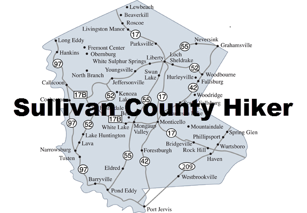
Sullivan County and the surrounding area have many hikes suitable for novice and advanced hikers alike. Some of these hikes are located in town parks, some are railtrails and some are found on state forest lands. The surfaces for the hikes and terrains vary from flat and smooth to those of a more rustic nature. The hikes have been divided into various areas around the county and have been rated as EASY, MODERATE and STRENUOUS.
- + Map Explanation
For each area you will find an interactive map and a description of the hikes in that area.
On the map you may:
- Click on the name of the hike in the legend to turn hikes ON and OFF
- Click on the arrow next to the name of the hike in the legend to center the map on that hike
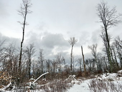
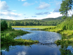
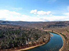
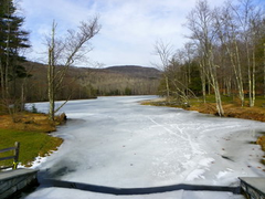
- Hover over a marker on the map to see a picture from that location
- Use the + and - to zoom IN and OUT
- Hold down the left mouse button while over the map and drag the map around
Hovering over the hike's Difficulty Rating will show a reason for the rating.
-
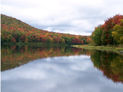
Alder Lake
Popular for camping and hiking. Easy walk around the lake. Nice Len-to at a beaver meadow.
-
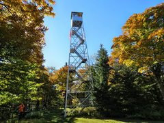
Balsam Lake Mountain
One of the 3500 foot peaks in the Catskills. Destination is the fire tower on the summit.
-
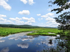
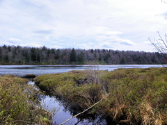
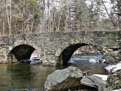
Basha Kill
Beautiful wetland with nice views. Many species of plants and animals. A favorite of birders.
-
Crystal Lake
Secluded lake off the beaten path. Short hike around the lake with opportunity to see wildlife.
-
Denman Mountain
Hike around Denman Mountain on a snowmobile trail. Return on a dirt road.
-
Frick Pond
Many opportunities for short and long hikes around two different ponds. Varied terrain and distances.
-
Jensen Ledges
Short hike to a series of ledges which overlook the "big Bend" in the Delaware River.
-
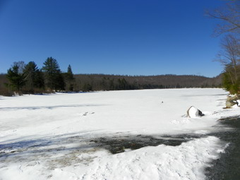
Little Pond
POnd at the site of a state campground. Walk around the pond or tackle Cabot Mountain for a nice view.
-
Long Pond
Hike in a secluded area with a small pond where you may see with red-wing blackbirds. Hike along the Willowemoc Creek.
-
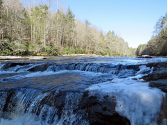
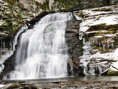
Neversink Unique
Hikes here vary in distance and difficulty with the longest visiting three different waterfalls.
-
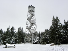
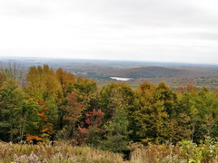
Red Hill
One of the five fire towers in the Catskills that has been restored. Volunteers man the towers on weekends during the summer.
-
Trout Pond
Russell Brook Falls is less than half a mile from the parking area. Hike to Trout and Mud Ponds or camp in one of the many primitive sites or in the two lean-tos.
-
Tusten Mountain
The hike starts on the Delaware River and passes by several quarries and mines as it loops over the top of Tusten Mountain.
-
Walnut Mountain
The hike starts at the main parking area and follows wide carriageways on loops around Walnut Mountain.
Below is a list of all the trails on the website. Clicking on a header in a column will sort the list on that column.